Purgatoire Canyon

Southeastern Colorado
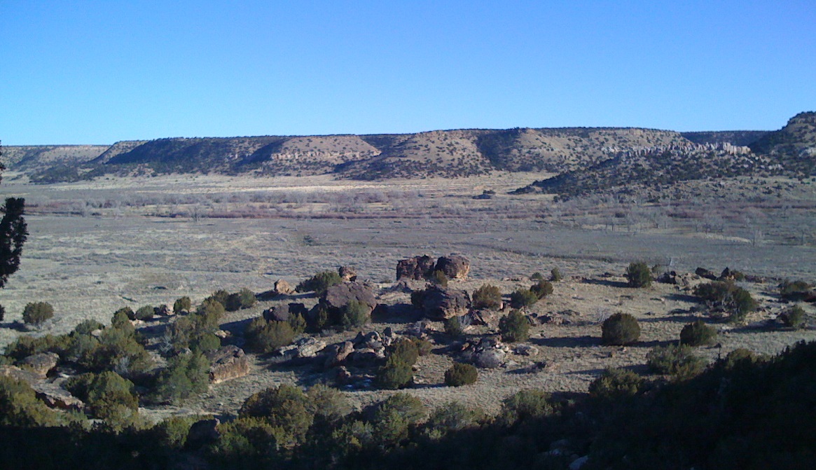
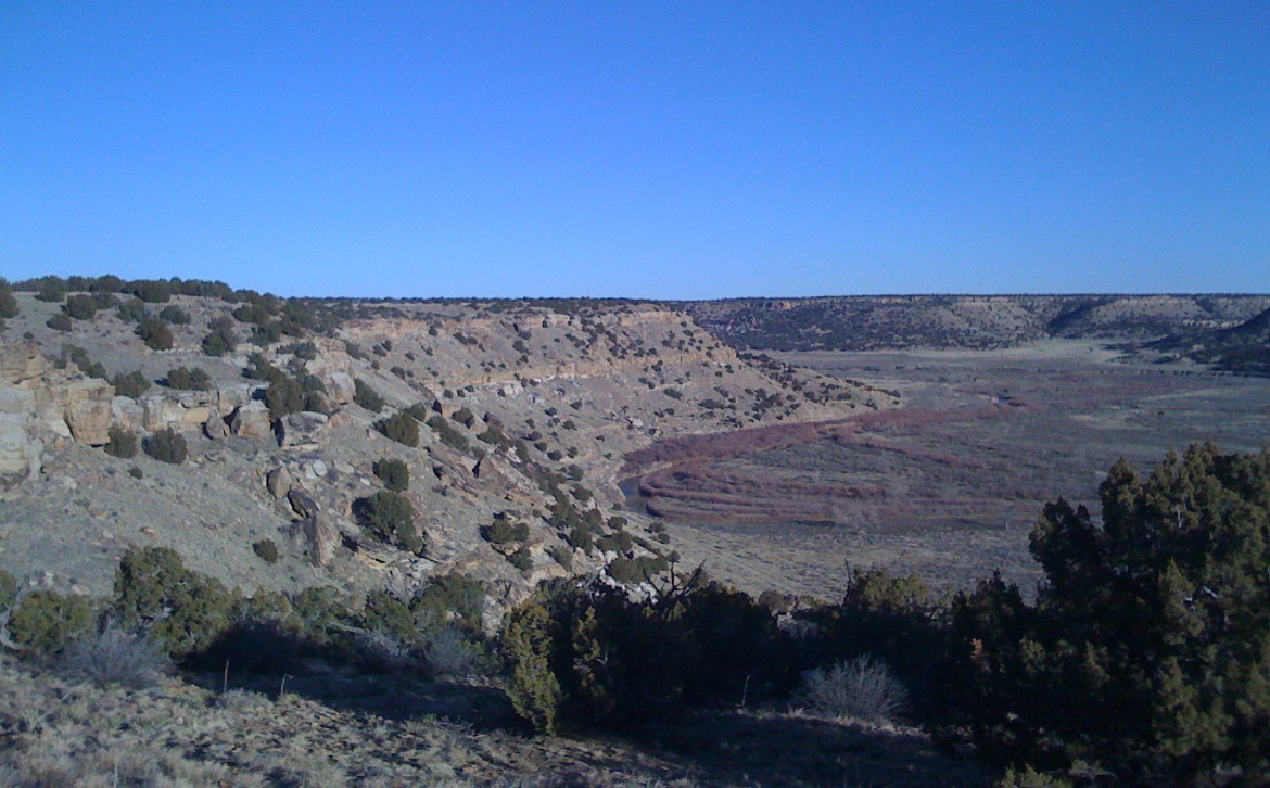
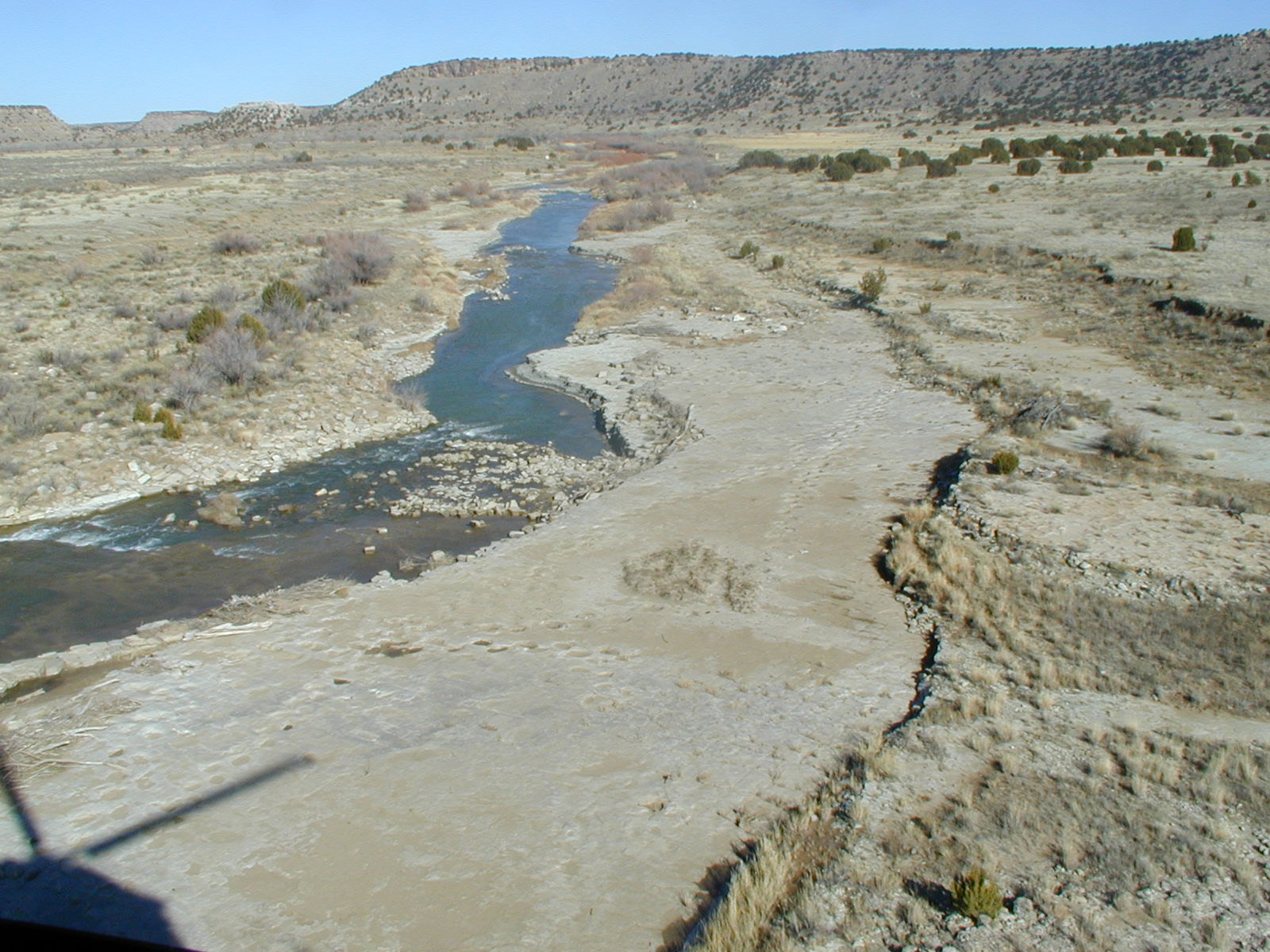
Looking east toward the mouth of Clark Canyon (just beyond the low hill with light–colored rocks on the right). The Purgatoire River runs from right to left through the center of the picture. The confluence of the Clark Canyon and Purgatoire Canyon water channels is at the extreme left.

An Interesting, Related Article:

— Modern Love: What Is Carved in Stone – New York Times, David Mark Simpson, 5/27/2011.

Stick with it, on page 2 he travels to the Purgatoire Canyon and loses cell phone service. They run across the “Zookeeper,” “a rock mural depicting a lone human surrounded by dozens of snakes, goats, horses and other creatures. A single wandering line connected all of the beasts and the human.”

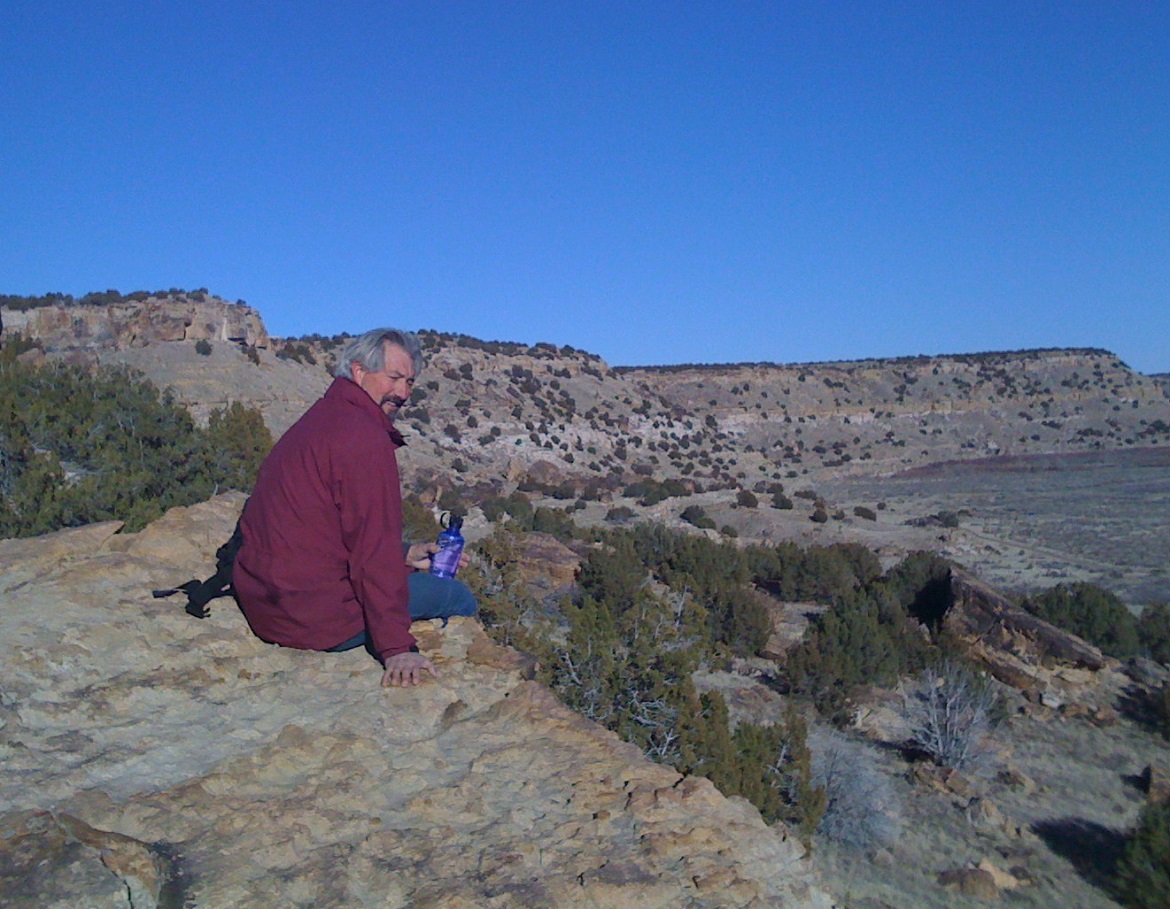
Looking downstream to the northeast. The sudden turn to the east of the Purgatoire River's water channel is visible in the distance on the right. (The darker brown lines mark the path of the channel.)
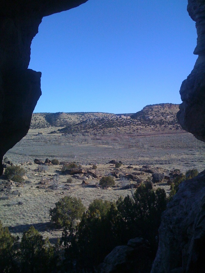
Looking southeast from within the rock cliffs.
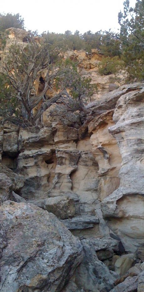
A view of a water–sculptured section of the rock face along the north wall. Piñon trees can be seen growing out of the rock.
The water channel runs straight north into the wall at this point, then turns east toward the middle of the canyon before turning north again. This location is easy to spot on satellite views. The mouth of Miller canyon is visible in the far distance on the extreme right.
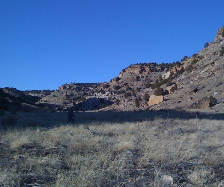
A small valley immediately north of the ruins of an old Spanish church and cemetery. The valley is directly across from the mouth of Clark Canyon. The view is to the northwest.
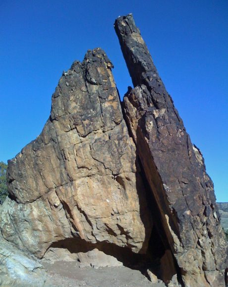
One of the many pieces of the cliffs that have broken off and are lying at random angles on the slopes below.
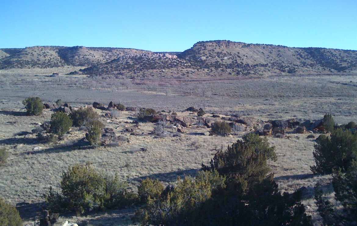
Looking southeast across Purgatoire Canyon. The Dinosaur Tracks area is about a mile farther upstream to the right.
Purgatoire River dinosaur tracks area. (Wikipedia article) (photo from Google Earth, posted by "srstacy")
This area is about a mile or so upstream from the mouth of Clark Canyon. The low hill topped by light–colored rocks (at top left), is the same low hill prominently visible in several of the pictures above.
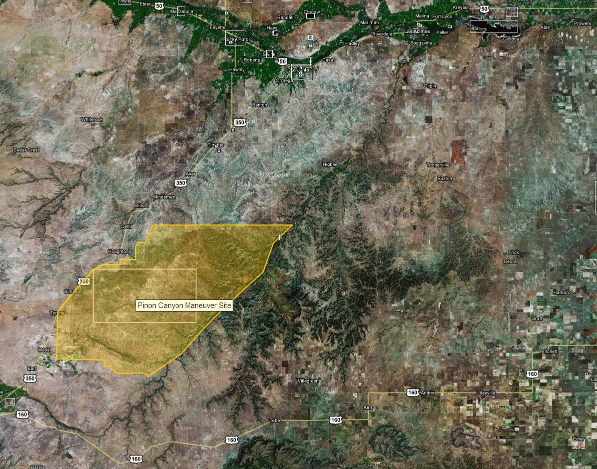
Screenshot of Wikimapia's view of the entire Purgatoire Canyon area. The approximate boundary of the Army's "Piñon Canyon Maneuver Site" is in yellow. The Dinosaur Tracks area is near the northeast corner of the maneuver site, marked by crosshairs.
Source (Wikimapia) – (mouse over the maneuver site area on Wikimapia to turn on the yellow highlight of the army’s land).